Provide viewing of site content and gaining access to functionality. This type of cookies is used only for the correct operation of the site and is not transferred to third parties. Disabling is impossible without disrupting the functioning of the site.
Analytical cookies
Help us improve the performance of the site, your experience of using the site and making it more convenient to use. The information that these types of cookies collect is aggregated and for this reason anonymous. Used to provide statistical indicators of site use without identifying users.
Advertising cookies
Allow us to reduce our marketing costs and improve user experience.
Realting.com uses cookies to improve your interaction with the website. You can configure which cookies will be saved on your device.
Learn more
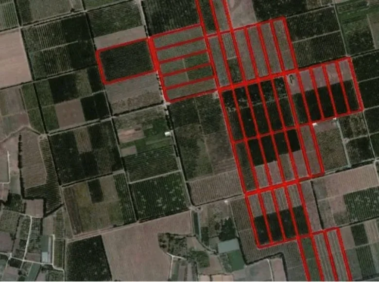
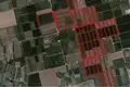
This asset consists of 37 pieces of land in the Fasouri area of Akrotiri, Limassol.
The asset is located within the British Sovereign Base Area, 1,3km south of the old Limassol - Paphos road, 210m west of Kolossi - Akrotiri road and 4km north of Akrotiri village.
It has a total area 383,933qm. All fields have a regular shape with a flat surface, benefit from c. 50m road frontage along a registered dirt road and are cultivated with citrus crops.
The immediate area of the asset comprises of agricultural land.
The asset falls within protection planning zone Z1 with 6% building density, 6% coverage, 2 floors and a maximum height of 8.3m.
Location on the map
Akrotiri, Cyprus, Akrotiri village
Mortgage calculator
Interest rate, %
Loan term, years
Property cost
Down payment, %
{{ initialPaymentCurrency }} USD
Please note! You changed the property cost parameter to {{ differentPrice }}%. This affects the relevance of the calculation of monthly payments for the current property.
Return