


Demarcation: How to Correctly Establish Land Boundaries?
Demarcation is the process of establishing and recording the boundaries of a land plot directly on the ground. It is key to determining land ownership, preventing disputes with neighbors, and ensuring compliance with legal regulations. Unlike delimitation, which occurs on paper (drawings, maps), demarcation is the physical establishment of boundaries on the ground using boundary markers, fences, or other physical objects.
Demarcation includes several important stages:
- Preparation of documentation. Initially, the owners of the land must provide all necessary documents confirming the rights to own the land.
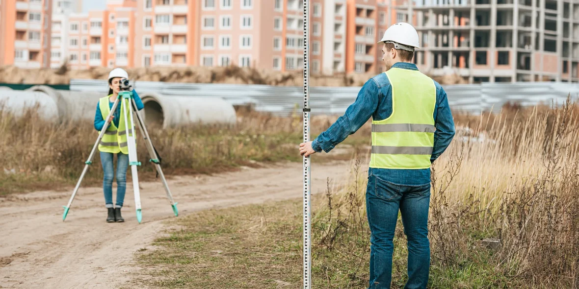
- Geodetic measurements. Specialists carry out fieldwork, measuring the area to accurately determine its boundaries.
- Installation of boundary markers. After the boundaries of the plot are precisely defined, physical markers are installed on the ground: posts, fences, stones, etc. They fix the boundaries of the plot for a long time and are key reference points for all future operations with the land.
- Registration of documents. At the end of the process, a demarcation act is drawn up, which is transferred to the cadastral authorities for official recognition of the boundaries of the site.
Types of demarcation:
- Physical demarcation. This type involves the installation of visible physical objects (signs) on the site that show its boundaries.
- Geodetic demarcation. The use of geodetic instruments and GPS to accurately measure and record the coordinates of a land plot.
- Legal demarcation. Sometimes the boundaries of a plot of land can be established on the basis of agreements, court decisions, or administrative acts.
Correctly conducted demarcation helps to avoid future conflicts and allows owners to be confident in the legal protection of their rights to the land. In addition, the established boundaries can be revised in the event of a change in the layout or redevelopment of the site, which requires a repeated procedure — redemarcation.