Provide viewing of site content and gaining access to functionality. This type of cookies is used only for the correct operation of the site and is not transferred to third parties. Disabling is impossible without disrupting the functioning of the site.
Analytical cookies
Help us improve the performance of the site, your experience of using the site and making it more convenient to use. The information that these types of cookies collect is aggregated and for this reason anonymous. Used to provide statistical indicators of site use without identifying users.
Advertising cookies
Allow us to reduce our marketing costs and improve user experience.
Realting.com uses cookies to improve your interaction with the website. You can configure which cookies will be saved on your device.
Learn more
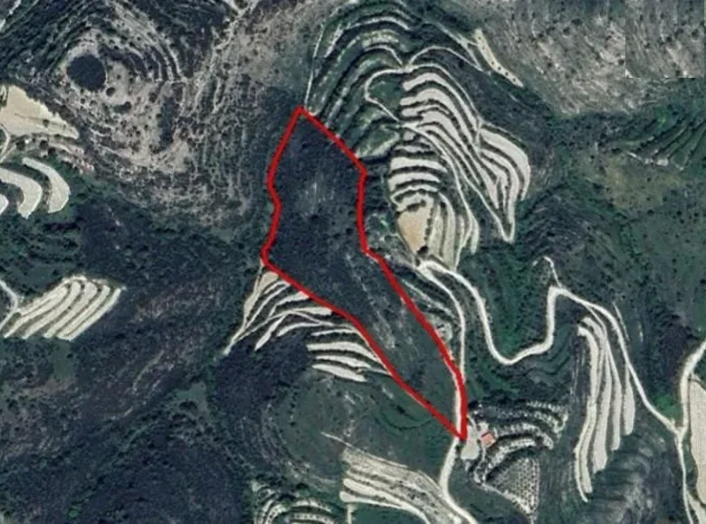
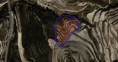
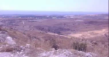
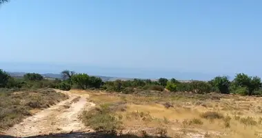
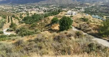
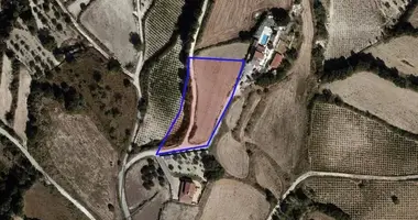
Location: Koili, Paphos, 700m of Koili village, 500m of Tsada-Koili main road.
Area: 26,422 sqm.
Access: ~50m road frontage along a registered road (southeast border).
Environmental Status: Partially within Natura 2000 special protection area.
Surroundings: Agricultural and undeveloped land.
Planning Zones:
Agricultural Zone (Γ3):
Area: 23,515 sqm
Building density: 10%
Coverage: 10%
Max height: 8.3m (2 floors).
Protection Zone (Z3):
Area: 2,907 sqm
Building density: 1%
Coverage: 1%
Max height: 5m (1 floor).
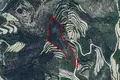
Location on the map
Koili, Cyprus, Koili
Food & Drink
Leisure
Mortgage calculator
Interest rate, %
Loan term, years
Property cost
Down payment, %
{{ initialPaymentCurrency }} USD
Please note! You changed the property cost parameter to {{ differentPrice }}%. This affects the relevance of the calculation of monthly payments for the current property.
Return