Provide viewing of site content and gaining access to functionality. This type of cookies is used only for the correct operation of the site and is not transferred to third parties. Disabling is impossible without disrupting the functioning of the site.
Analytical cookies
Help us improve the performance of the site, your experience of using the site and making it more convenient to use. The information that these types of cookies collect is aggregated and for this reason anonymous. Used to provide statistical indicators of site use without identifying users.
Advertising cookies
Allow us to reduce our marketing costs and improve user experience.
Realting.com uses cookies to improve your interaction with the website. You can configure which cookies will be saved on your device.
Learn more
Please tell the seller that you found this ad on Realting.com
Agency
MySpace Real Estate
Languages
English, Русский
1
Updated at: 20/08/2026
Location
Country: Cyprus
Region: Nicosia District
Village: Kato Pyrgos
Description
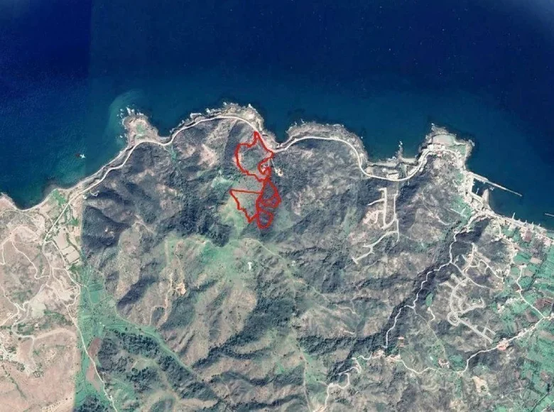
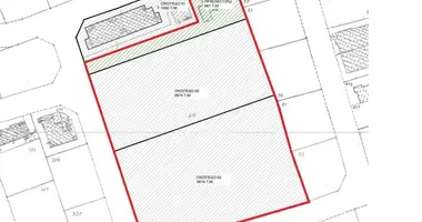
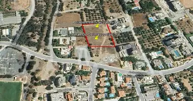
5 adjoining fields in Pigenia, Nicosia. It benefits from a nice view of the area and the sea. 1.Plot with totals 10.368 sqm has an irregular shape and sloping surface, is considered landlocked and falls within an agricultural zone (Γ3). 2.Plot with totals 26.756 sqm has an irregular shape and sloping surface, falls within an agricultural zone (Γ3) and abuts a registered footpath (north border). 3.Plot with totals 51.200 sqm has an irregular shape and sloping surface, has a road frontage of circa 240 meters along the coastal road that leads to Kato Pyrgos along its north-east border and falls within a dual residential planning zone (H4 circa 19.456 sqm and H5 circa 31.744 sqm). 4.Plot with totals 12.375sqm and it has an irregular, sharp shape with sloping surface, it is landlocked (c 200 meters south from the nearest registered road), it abuts a river stream (northwest border), it is crossed by a river stream and it falls within residential planning zone (H4). 5.Plot with totals 6.335sqm and it has an irregular, sharp shape with sloping surface, it is landlocked (c 200 meters south from the nearest registered road) and it falls within residential planning zone (H4). The immediate area comprises of some scattered residential developments and in its majority consists of forests and empty parcels of land.